Map Overview
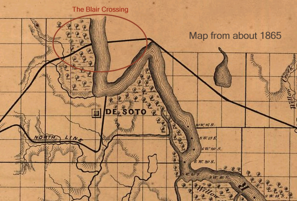
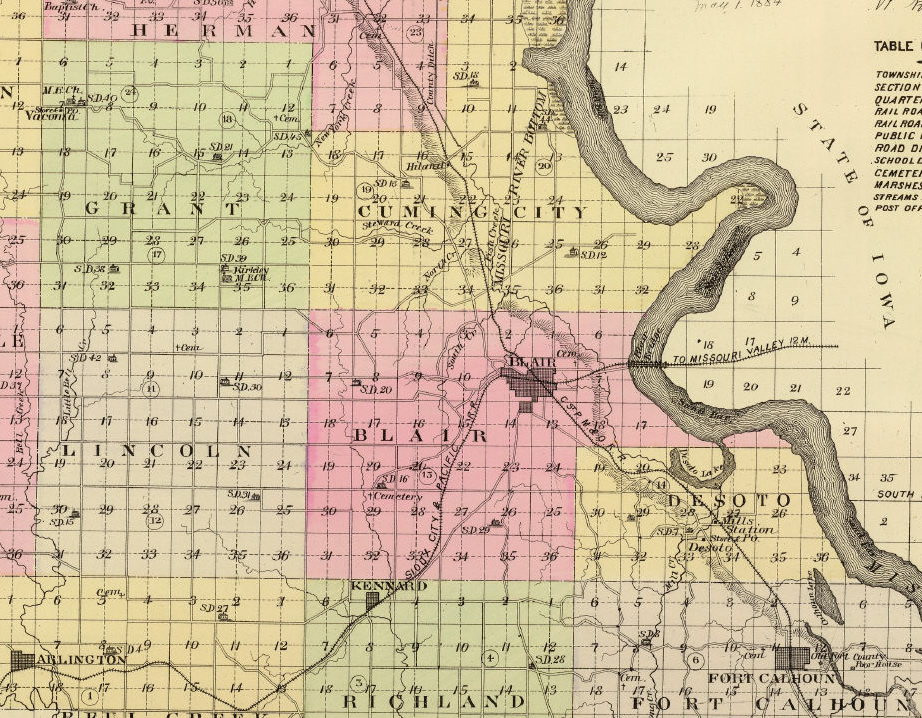
Map of the area from about 1865. Note the rail line across the Missouri river, just north of De Soto where eventually the town of Blair would spring in 1869 and a railroad bridge would span the river in 1883.
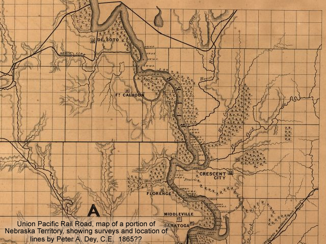
Second map from around 1865.
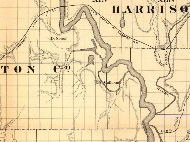
A third map of the area from about 1865. Showing Probable Line of the Cedar Rapids & Missouri Railroad across the Missouri river, just north of De Soto.
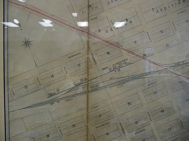
Railroad Map of Blair, Nebraska (after 1910) – First view – Digital Photo of glass framed Map on Display at the Blair City Council Chambers.
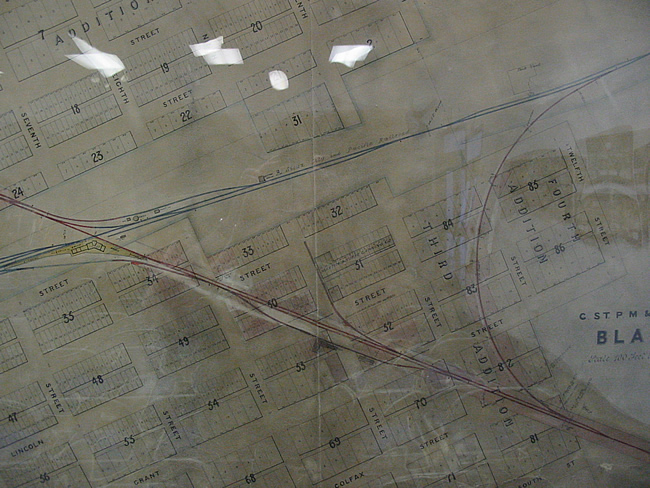
Railroad Map of Blair, Nebraska (after 1910) -Second View

Railroad Map of Blair, Nebraska (after 1910) – Third View

Railroad Map of Blair, Nebraska (after 1910) – Fourth View
Plat Maps

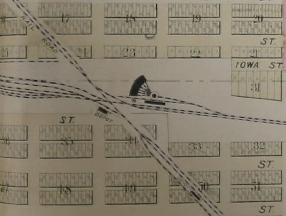
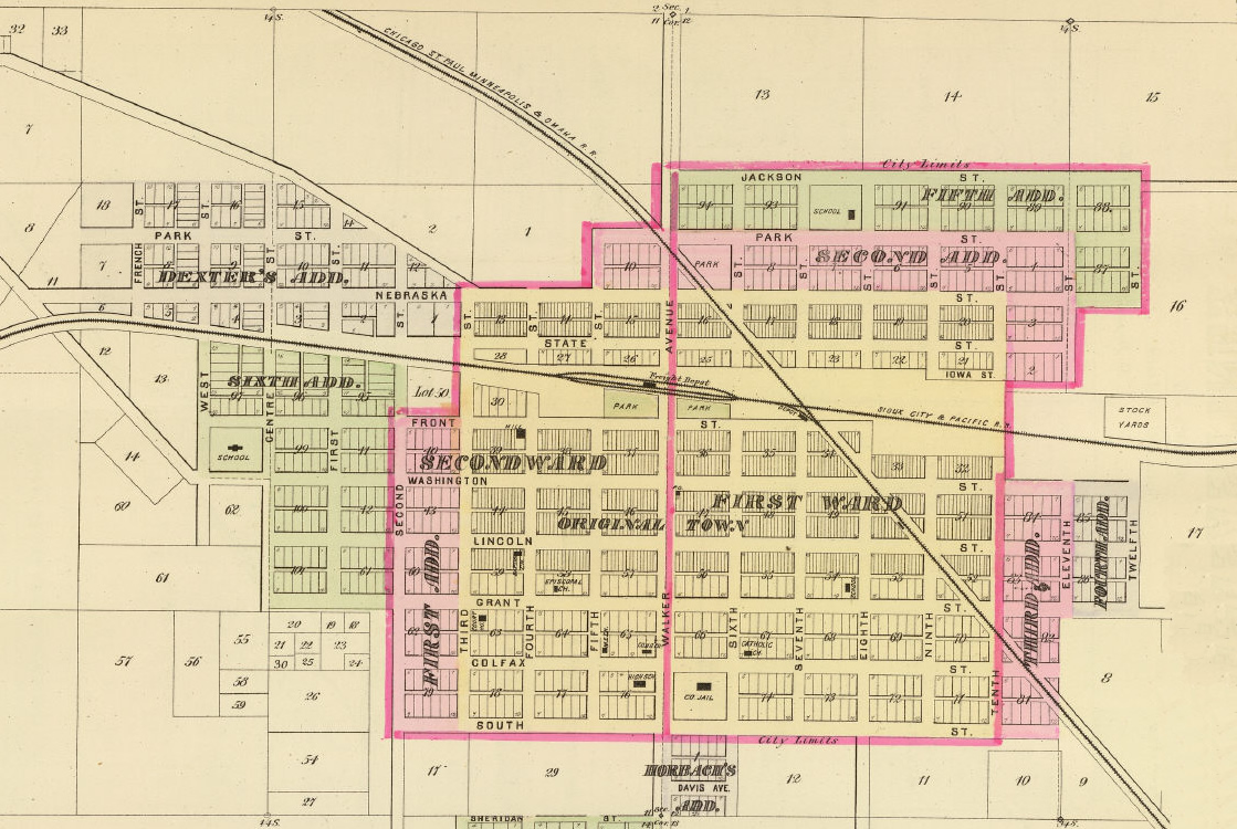
1894 Plat Map
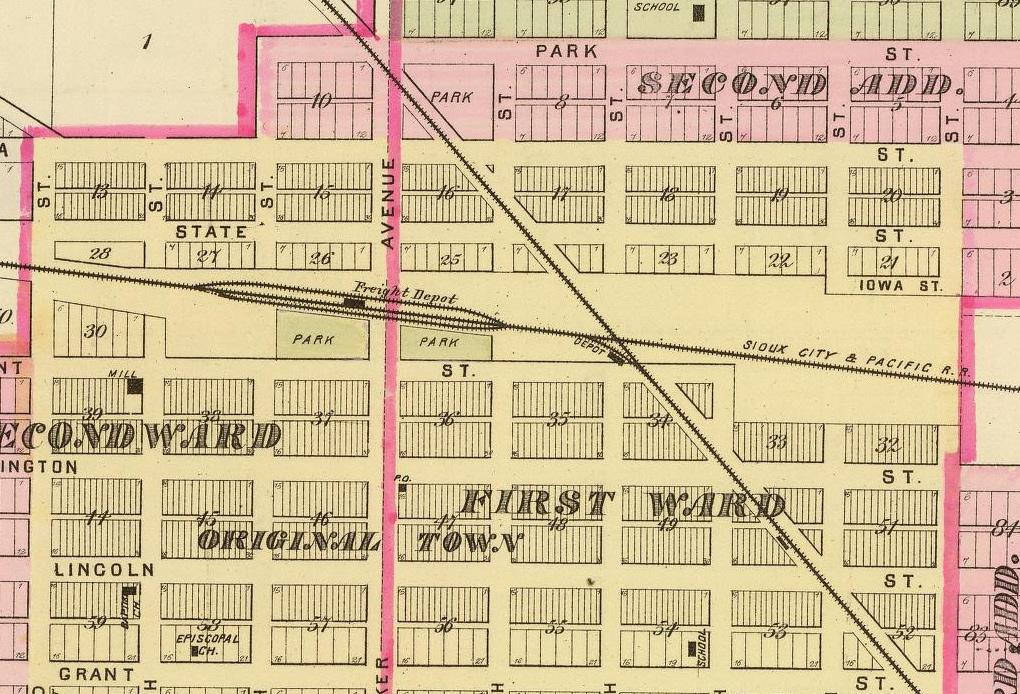
1894 Blair Plat Map City of Blair – Showing Rail Lines, two train depots the roundhouse and original the County Court House on Grant Street. Original Book at the Washington County Historical Museum. Digital close-up photo of book.

Survey Maps
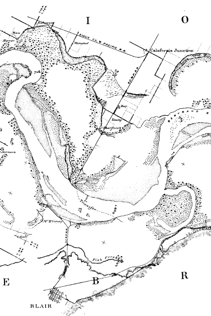
Map of the Missouri River from surveys made, in accordance with acts of Congress approved June 18, 1878 and March 3, 1879, under the direction of Major Chas. R. Suter.
1856 Survey Maps
- Blair Area
- Blair – Township 18 North Range XI East
- North Blair – Township 19 North Range XI East
- DeSoto – Township 18 North Range XII East
- East Blair – Township 19 North Range XII East
Additional Survey Maps
Adjust the text size


Featured Pictures
Archive Links
BHPA Links
Blair Historic Preservation Alliance | P.O. Box 94 | Blair, Nebraska 68008 | contact@blairhistory.com