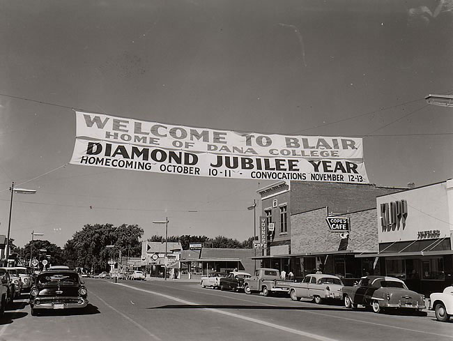
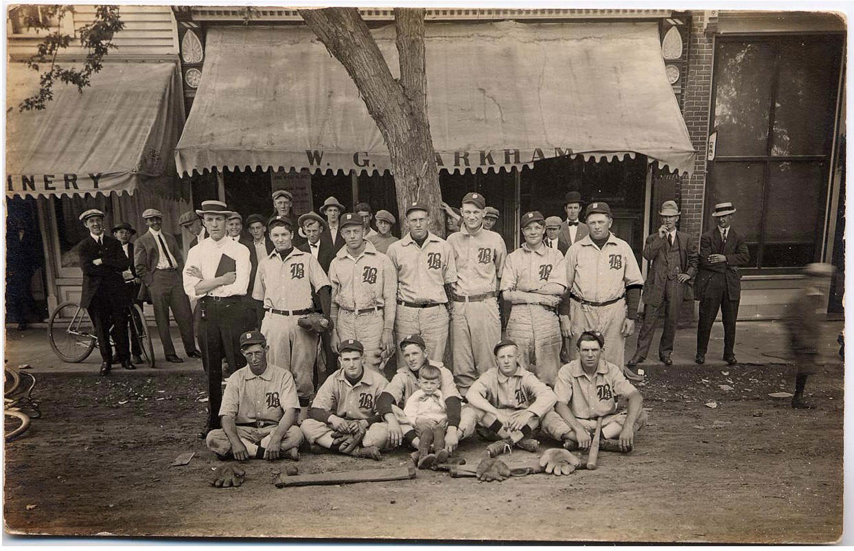
Home > Archive > Lincoln Highways > Remembering the earlier times
Remembering the earlier times
Omaha World-Herald – May 23, 2004
BEAVER, Iowa (AP) – Three graduate students were dispatched out in the summer of 2002 to log historic features – motels, gas stations, bridges and other landmarks – along the coast-to-coast Lincoln Highway.
“The way I put it was they had eight weeks, while doing an extensive survey, from New York to San Francisco on the backest road possible,” said Kevin Patrick, a geography professor at Indiana University in Pennsylvania.
The students identified 1,463 features, including 147 in Iowa. The map was done on a scale of one inch for every 2,000 feet. Put that on paper and you’d have a map 748 feet long.
“You can see why it had to be in the computer,” Patrick said.
There were no such maps when Carl G. Fisher, who built the Indianapolis Motor Speedway and later developed Miami Beach, began promoting his idea of a transcontinental highway in 1912.
His dream became reality the following year when the road was named after one of his heroes, Abraham Lincoln, and the route was announced. On its path through Iowa, it ran right past the Benton County farm where Nova Daniels grew up.
It was just a dirt lane then, and Daniels, 87, remembers watching the cars stir up the dust – and bog down in the mud. That would send her father to the barn to hitch up the horses and pull the unfortunate motorist out of the muck.
One Christmas, four cars became snowbound in front of their farm, and the occupants – three couples and a family of four – all spent the holiday at the farm, sleeping on floors and spare beds and dining on goose, duck and chicken.
“After it was paved, the traffic really picked up,” Daniels said. “Before that, it was just a few brave ones. You’d see them go by with gear to camp with. There were no cabins or anything like that. Motel wasn’t even a word then.”
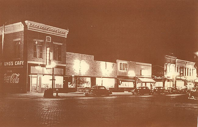
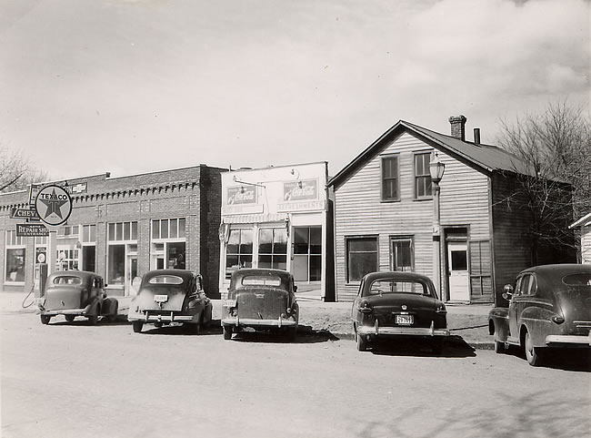
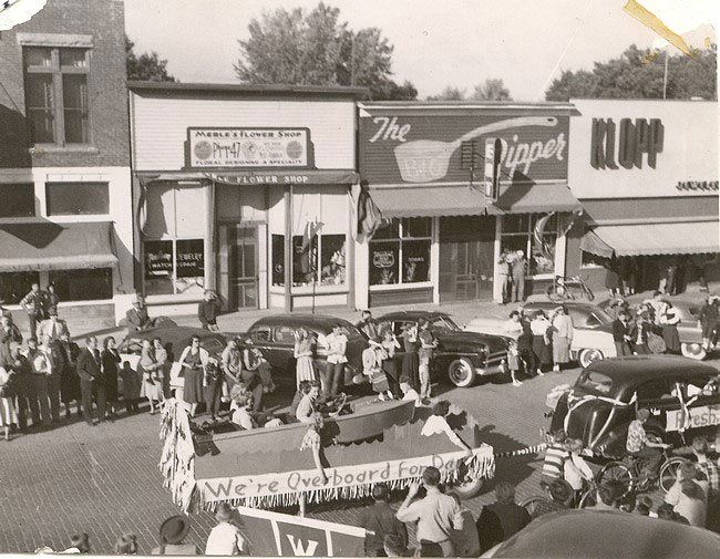
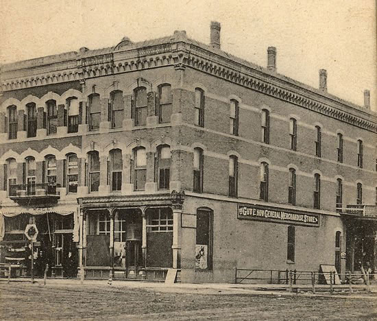
Eventually, the highway spawned a roadside industry, some with eye-catching designs – a hotel shaped like a ship in the Pennsylvania hills, a Pennsylvania restaurant in the shape of a coffee pot, the all-white Twin Towers one-stop in Cedar Rapids, a concrete tepee in Wyoming.
The Twin Towers is gone, but other historic structures remain in Iowa.
The most famous bridge on the route, its concrete supports carved to spell out Lincoln Highway, still stands in Tama, not far from the King Tower Cafe, notable for its neon Indian head sign.
Volunteers are restoring a garage and tourist cabins that flank a roadside restaurant at Colo. A cafe west of Cedar Rapids, a stop called Youngville, has reopened, though two historic tourist cabins at the site were destroyed by a recent fire, and another was damaged.
The roadway itself is an attraction in some areas. Woodbine in western Iowa has a brick street that was part of the route. A brick stretch, not much wider than a bicycle trail, runs near Elkhorn, just west of Omaha.
Other remnants are more subtle, such as the Lincoln Highway logo and arrow on the utility poll at the west edge of Grand Junction, directing drivers to turn left into town.
All are reminders of an earlier time, when travelers could immerse themselves in the countryside – sometimes literally when it was muddy – instead of just speeding past it on a smooth, four-lane Interstate.
“We just take it for granted that I-80 was always there,” said Bob Stubblefield, the Nebraska representative to the national Lincoln Highway Association.
Adjust the text size


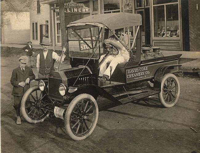
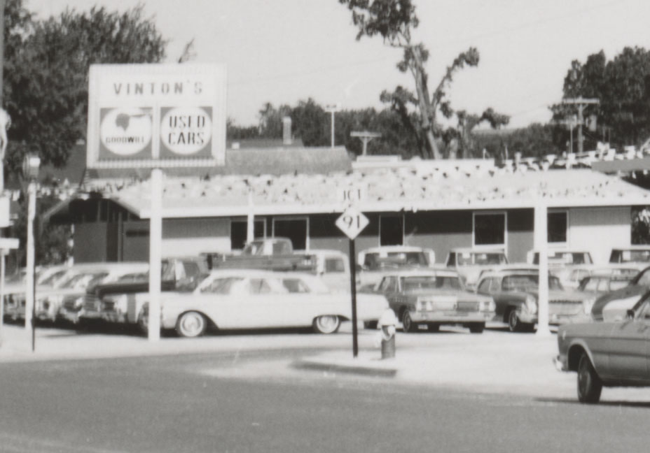
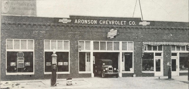
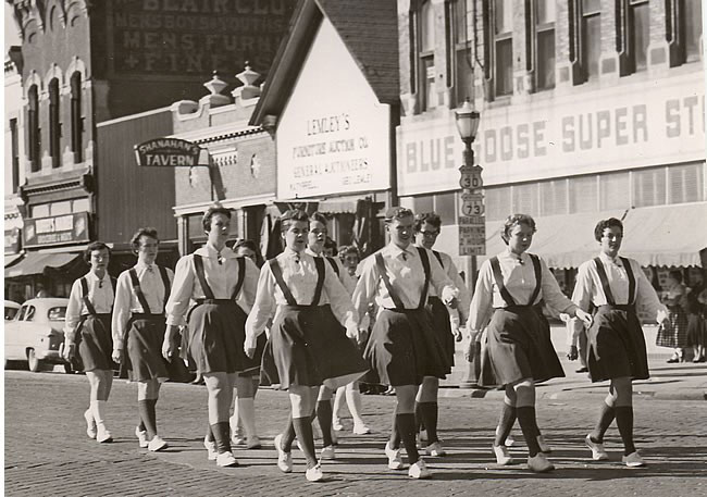
Featured Pictures
Archive Links
BHPA Links
Blair Historic Preservation Alliance | P.O. Box 94 | Blair, Nebraska 68008 | contact@blairhistory.com